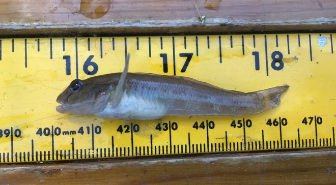
Beka is a fish biologist with the La Crosse Fish Health Center. She earned her Bachelor’s degree in Conservation Biology from UW-Madison and her Master’s degree in Aquatic Science from the UW-La Crosse while working as a SCEP student at the lab. Her previous work experience includes behavioral research with non-human primates at the UW-Madison, work as a veterinary technician at several animal clinics, a job as a laboratory technician at a biopharmaceutical company, and working in the microbiology department of a human clinical lab. Upon graduating from UW- La Crosse in 2012, she was converted to a permanent position and now enjoys her work as a biologist because it allows for a nice balance of both lab and field work. Her main duties include working in several different labs to screen hatchery-reared and wild-caught fish for viral and bacterial pathogens and parasites, participating in wild fish surveys, and traveling to national and tribal fish hatcheries within Region 3. In her free time, Beka enjoys traveling, hiking, kayaking, camping, cooking, and road tripping to seek out the country’s best craft breweries with her husband, Ed, and golden retriever, Finn.
Corey is a fish biologist with the La Crosse Fish Health Center. He graduated from University of Wisconsin Stevens Point with a degree in Water Resources/Fisheries and Limnology. He performs a wide range of lab work including virology, bacteriology and parasitiology. He also coordinates with our many federal, state and tribal partners to schedule fish health samples, fish health inspections, wild fish samples and fish diagnostic cases /USFWS.
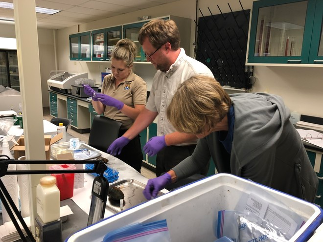
When she was a child, Ellen wanted to grow up to be an explorer and naturalist – and sometimes she also wanted to be a veterinarian! In veterinary school at Mississippi State University, she pursued an interest in charismatic mini-fauna such as fish and amphibians (while her classmates were pursuing charismatic mega-fauna). While getting her Ph.D. at the University of Montana, her interests focused on charismatic micro-faunal communities (bacterial microbiomes). So it should be no surprise that she joined the La Crosse Fish Health Center in 2017 as their Veterinary Medical Officer. In addition to looking at and treating health issues in fish, Ellen investigates health issues affecting the fish microbiome. She greatly enjoys the opportunity to explore these two very different aspects of fish health and ecological health at her job. In her spare time, she enjoys x-country skiing, hiking, gardening, cooking and reading science fiction. Photo: Ellen Lark/USFWS.
Eric is a fish biologist at the La Crosse Fish Health Center where he examines the diseases and parasites of aquatic animals as well as develops cell lines with research applications in the fields of virology and toxicology. He also enjoys hunting, fishing, gardening and watching the Green Bay Packers (and the Cincinnati Bengals) with his family/USFWS.
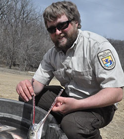
Graduating from the same high school as Derek Jeter, Kalamazoo Central High School, Isaac Standish then pursued a B.S. in Fisheries and Wildlife at Michigan State University. He continued his education at Michigan State, studying fish viruses and immunity, eventually earning a PhD in Pathobiology. Following graduation he was offered a directorate fellowship with the USFWS at the Midwest Fisheries Center working with pathogens affecting amphibians. Since then, Isaac has continued working with both fish and amphibian pathogens throughout the region. He is an avid fisherman, mushroom hunter, homebrewer, and Isaac is always trying to get outside to enjoy the Driftless Area /USFWS
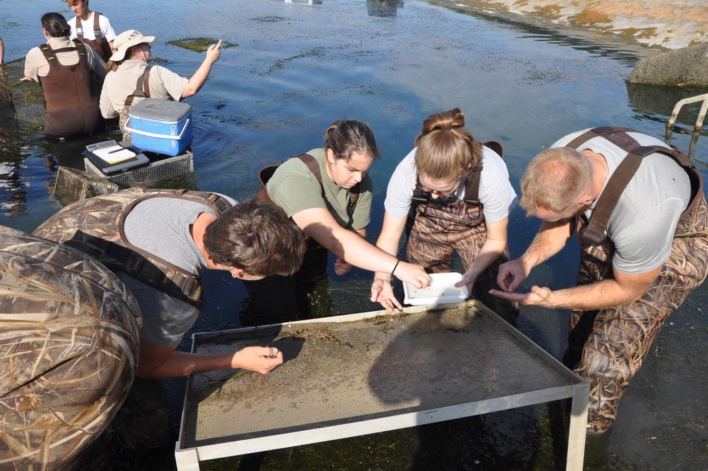
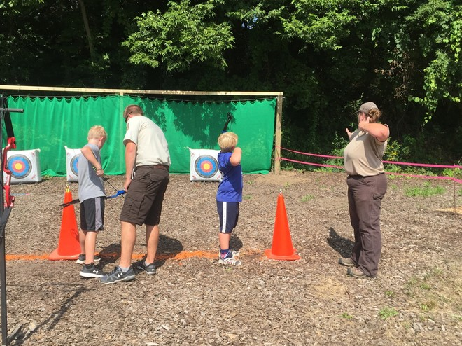
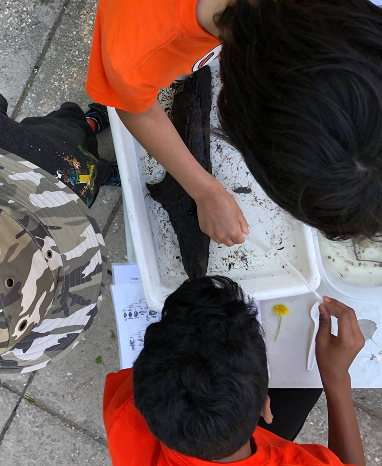
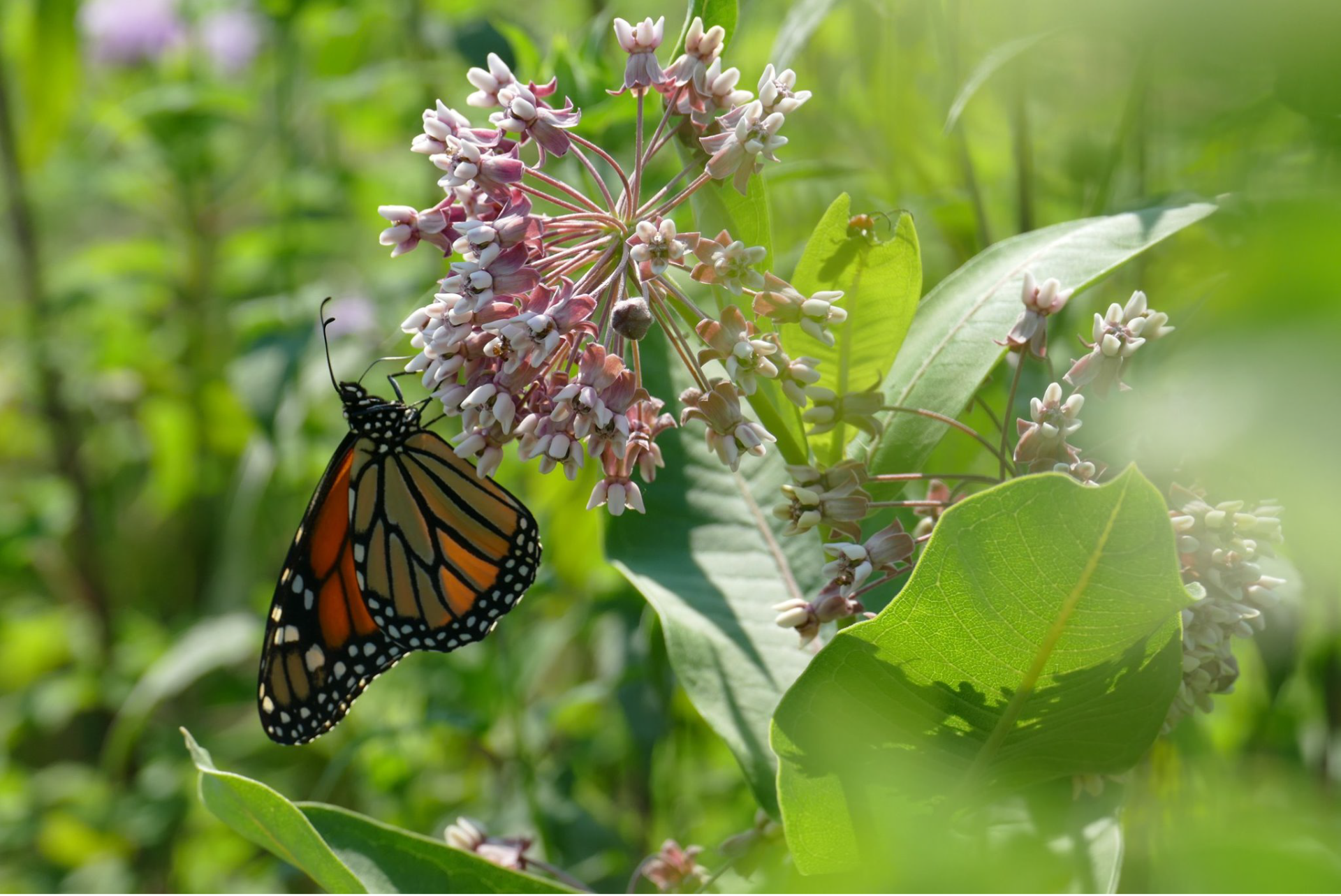
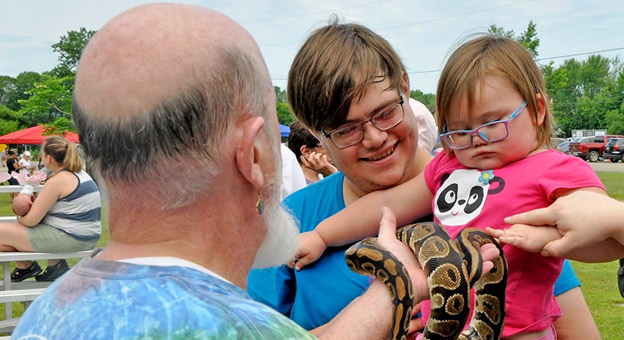 On July 13 at Veterans Freedom Park in La Crosse, Wisconsin, more than 1,400 adults and kids attended the 11th Annual Youth Outdoor Fest. This free event featured 45 outdoor activities including a reptile show, a zipline, archery, arts and crafts, and geocaching. The festival is a collaboration between the U.S. Fish and Wildlife Service Midwest Fisheries Center, La Crosse Parks and Recreation, and the Friends of the Upper Mississippi.